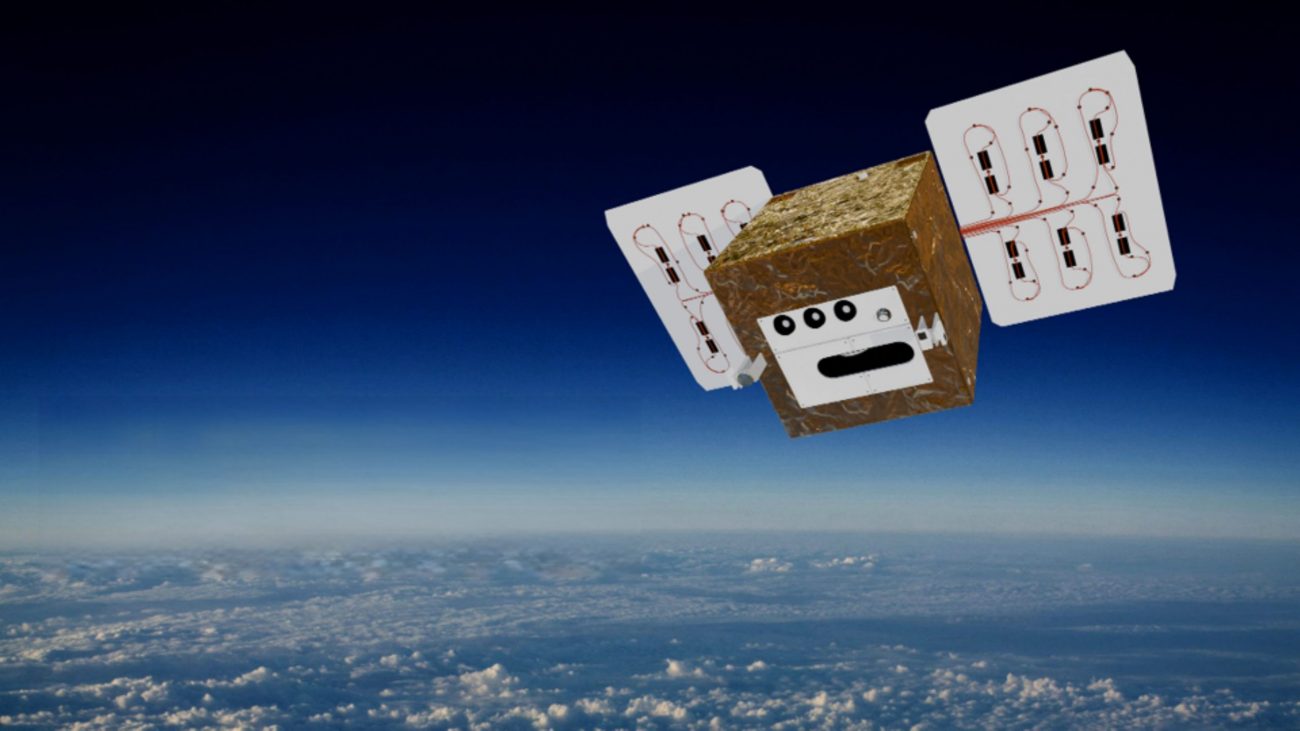

DIEGOSat – Satellite system for climate and security
 “Whether it’s the climate crisis, drought-stricken summers, or growing demands on our agriculture, we need accurate, up-to-date data to be able to respond in a targeted and timely manner. This is exactly where DIEGOSat comes in: the satellite can help us identify environmental changes more quickly, identify risks at an early stage, and thus better protect lives, crops, and infrastructure. At the same time, this project strengthens research, creates new opportunities for our high-tech economy, and shows what is possible when science, industry, and politics work together. With DIEGOSat, North Rhine-Westphalia is proving that innovations from North Rhine-Westphalia can have a global impact – for the benefit of people and the environment.” Monika Neubaur, Minister of Economic Affairs in North Rhine-Westphalia.
Diverse applications of Diegosat
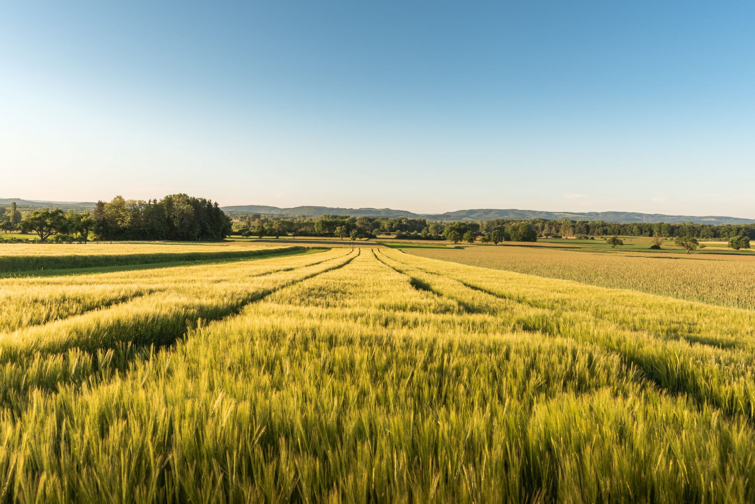
Protection of agriculture
Drought, heavy rainfall, unpredictable weather—climate change is making life difficult for farmers. But with the right data, crops can be saved.
DIEGOSat shows drought stress, water requirements, and plant development in real time. This means that every drop of water is used efficiently, yields increase, and resources are conserved—a win-win for agriculture and the climate.
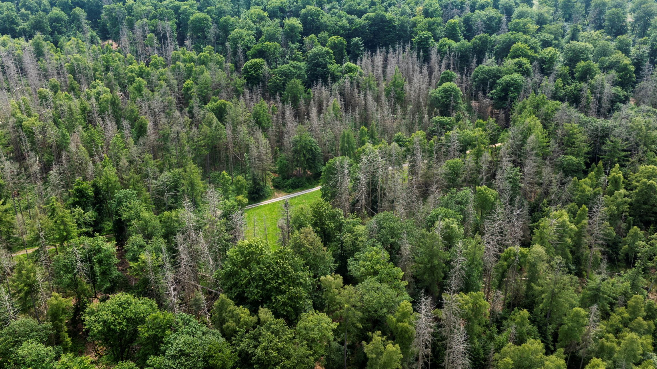
See moreSustainable forestry
Heat, drought, storms—climate change is throwing our forests off balance. Diseases and pests are spreading faster, and entire ecosystems are under pressure.
DIEGOSat detects drought stress, disease outbreaks, and pest infestations at an early stage. With precise measurements of temperature, humidity, and vitality, it provides the basis for targeted protection and sustainable forestry – so that our green lungs can breathe.
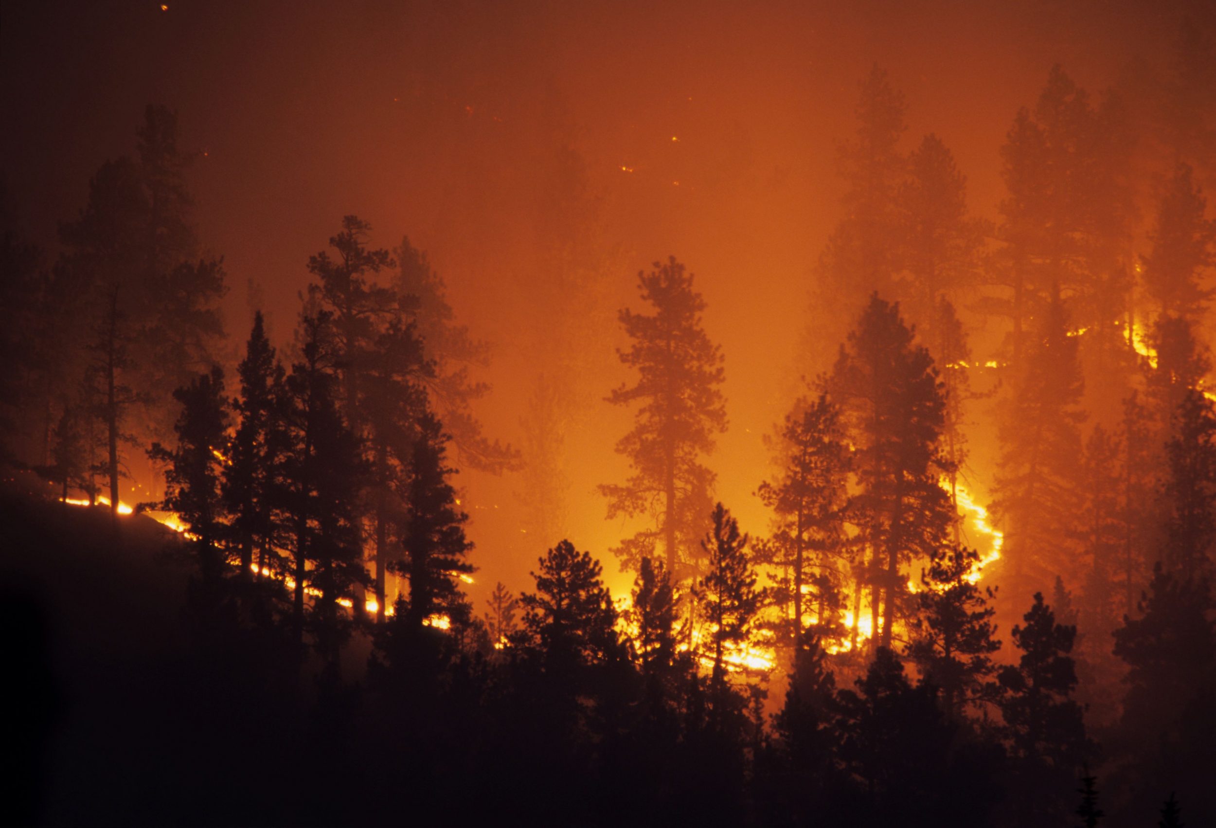
See moreFire – Detect it faster, fight it more effectively
Heat, drought, and wind—and a single spark can turn into a catastrophe. Forest and wildfires are spreading faster than ever before. Every minute counts when it comes to human lives, nature, and entire regions.
DIEGOSat detects fires early and tracks their spread in near real time. With precise data on intensity, affected areas, and emissions, it supports emergency services before the fire gets out of control – and helps to effectively limit damage.
See more
Urban – Heat islands in view
Asphalt, concrete, glass—our cities store heat like an oven. Climate change and more frequent heat waves exacerbate the problem: temperatures rise, the air stagnates, and quality of life declines.
DIEGOSat makes urban heat islands visible—in real time and with unprecedented accuracy. This enables cities to take targeted countermeasures.
See more
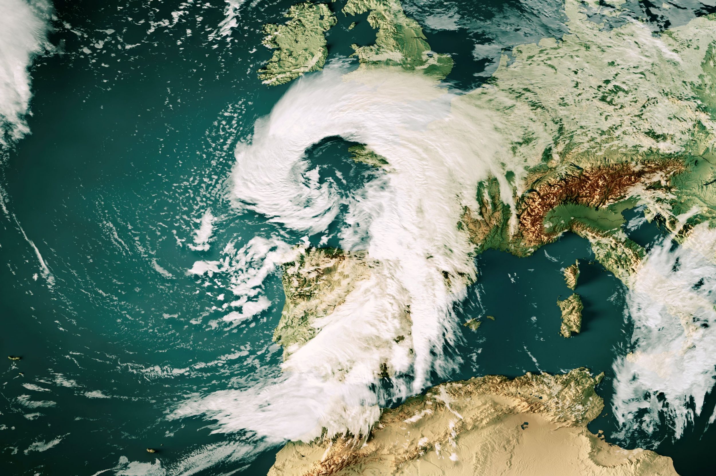
One step ahead of the weather – data for more accurate forecasts
Hotter summers, sudden storms, dense fog – climate change is making the weather more unpredictable. Accurate forecasts and timely warnings are becoming increasingly important to protect society and the economy.
DIEGOSat measures temperatures, evaporation, and energy flows several times a day. This improves weather models and enables more accurate warnings – whether for heat waves, fog, or heavy rain.
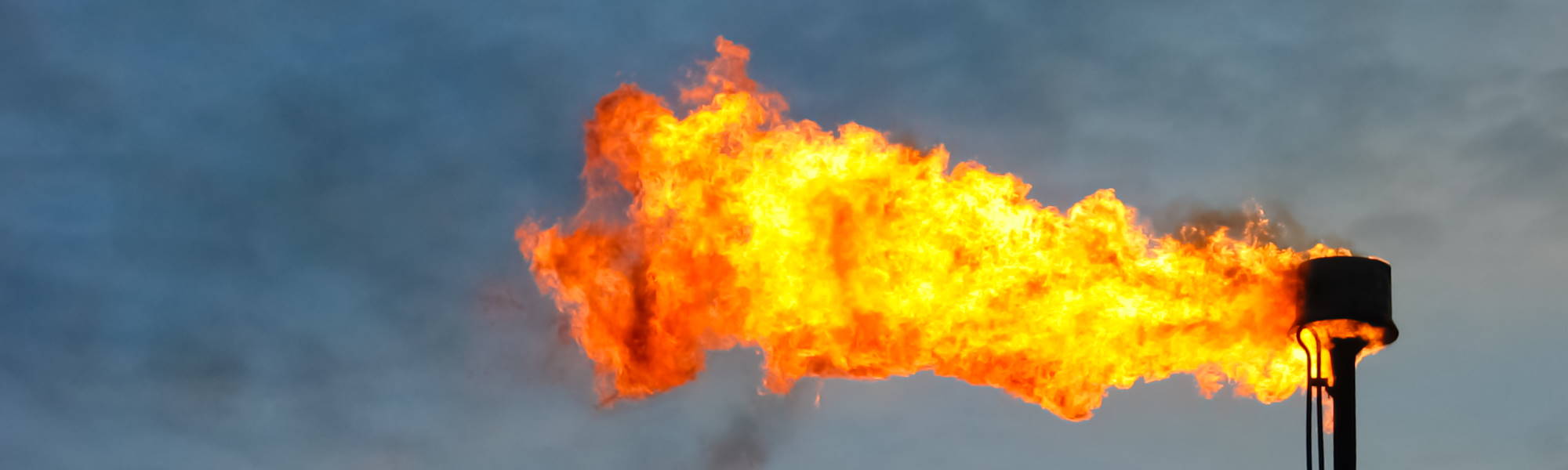
See moreSupporting the energy transition – waste heat, emissions, efficiency
Waste heat is lost unused into the air, gas flares blaze above refineries, and emissions pollute the climate and environment. A successful energy transition requires transparency and control—independent and precise.
DIEGOSat makes the thermal radiation of industrial plants visible. This allows energy losses to be identified, emissions to be measured, and progress in decarbonization to be monitored.
See more