Urban – Heat islands in view
Cities under heat stress
Sealed surfaces, dense development, and a lack of greenery make cities particularly susceptible to heat. Climate change is exacerbating this effect: summers are getting hotter, and heat waves are becoming more frequent and intense. The consequences range from health problems to a noticeable decline in quality of life. Without accurate data, it is difficult to plan and implement effective countermeasures.

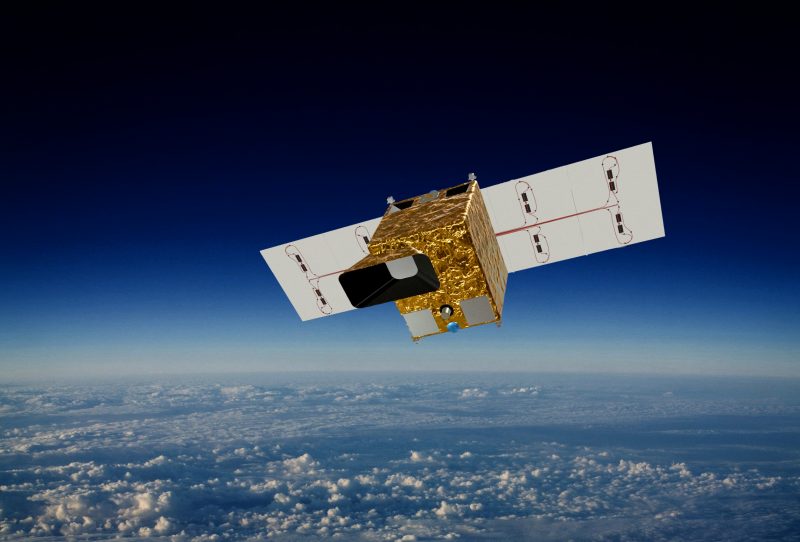
DIEGOSat in urban areas
Cities heat up significantly in summer – with consequences for the climate, health, and quality of life. DIEGOSat helps to investigate urban heat islands and identify urban hotspots. This enables targeted measures such as targeted greening or smart infrastructure planning. Multiple flyovers per day document temperature patterns in cities in unprecedented detail – laying the foundation for more livable, climate-friendly cities.

Urban – Analysis of urban heat islands
With its multispectral sensor technology in the thermal and visible range, DIEGOSat records temperature profiles in cities with high spatial and temporal resolution. Three measurements per day in Central Europe enable detailed observation of urban hotspots. By combining LWIR (long-wave infrared), MWIR (mid-wave infrared), and VNIR (visible and near-infrared) data, material properties and urban emissivity can also be determined to support targeted, data-based urban planning measures.