Agriculture – Precision from space
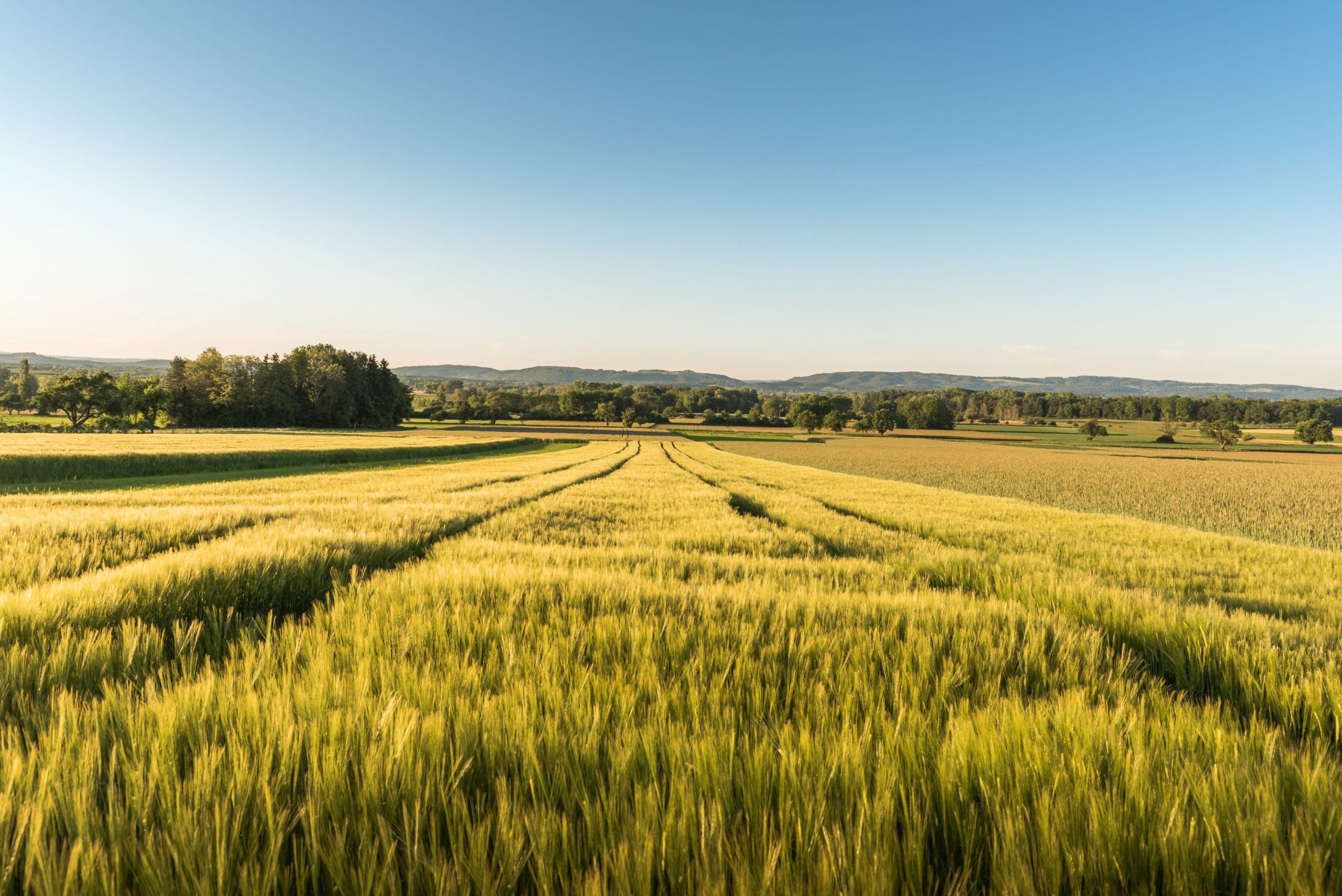
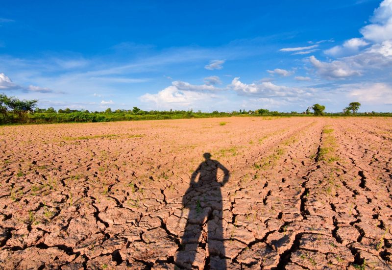
Agriculture in the face of climate change
Unpredictable weather conditions, prolonged periods of drought, and sudden heavy rainfall are putting increasing pressure on agricultural land. Crops can be lost in a matter of days if drought stress or flooding is not detected in time. At the same time, there is growing demand for resource-efficient farming practices to conserve water and soil. Without accurate information from the field, it is difficult to respond to these challenges quickly and effectively.
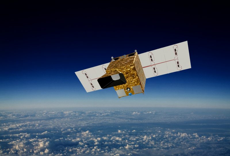
DIEGOSat in agriculture
DIEGOSat makes agriculture more efficient than ever before. Several times a day, the satellite delivers high-resolution thermal images that accurately record drought stress, water requirements, and vegetation development, with pixel sizes smaller than a soccer field. This enables farmers to control their irrigation with pinpoint accuracy, minimize crop losses, and optimize the use of resources. The result: higher yields, lower water consumption—and a valuable contribution to climate protection.
Precision measurement of water requirements and plant stress
DIEGOSat captures multispectral, high-resolution images with ground resolutions of 60 m in the thermal infrared and 20 m in the visible wavelength range and near infrared in geographical latitudes between 45 and 60 degrees with three consecutive passes. These images are used to determine land surface temperature (LST) and land surface emissivity (LSE). Parameters such as evapotranspiration and water stress can be derived from this. The inclined orbit allows data to be collected at different times of the day – a decisive advantage for analyzing diurnal transpiration fluctuations in vegetation and developing precise irrigation strategies.