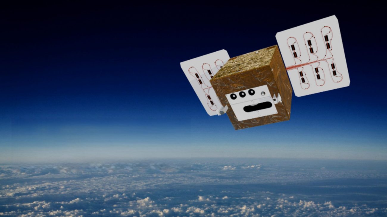
Early warning system from space for fires and disasters
Climate change exacerbates disaster risks
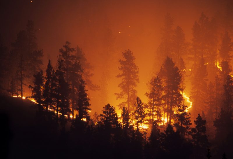
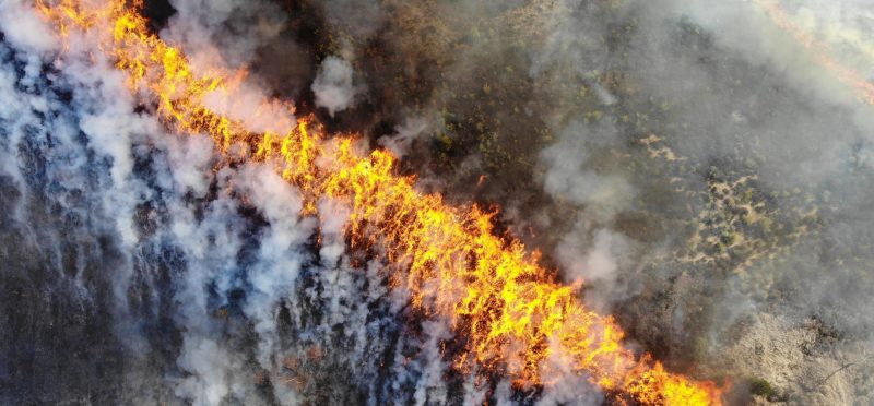
Climate change is significantly increasing the frequency and intensity of natural disasters such as forest and wildfires, heat waves, and extreme weather events. Fires in particular are becoming increasingly rapid and difficult to control due to drought and heat. Traditional satellites often provide only a few observations per day, meaning that fire fronts and emissions cannot be accurately recorded. For disaster control, this means that warnings come too late or are inaccurate.
Early warning from space – detecting fires faster
Whether it’s a forest fire or a wildfire, every minute counts. DIEGOSat measures fire radiative power (FRP) and detects even the smallest fires down to 1 m². This allows fires to be detected early, their intensity and spread quantified, and emissions such as CO₂, methane, or soot assessed. This facilitates operational planning and international services such as the Copernicus Atmosphere Monitoring Service (CAMS).
Precise infrared sensor technology for real-time data
DIEGOSat combines MWIR bands (3.4–4.1 µm) for detecting high-temperature events with LWIR data to accurately determine fire activity and upward radiative power (FRP). This data forms the basis for quantifying fire areas, spread rates, and emissions of CO₂, CO, NOx, methane, soot, and particulate matter. The large swath width of 700 km and multiple passes per day ensure that fires can be detected early and their dynamics tracked in near real time. Thanks to the inclined orbit, up to three observations per day are made in Germany, even at different times of the day. The data is transmitted in near real time and automatically processed by platforms such as firemaps.net into fire maps, emission and risk reports.